The following is a translation of an article written by ethnic Hungarian local historian Gábor Juhász, originally published in Magyar Krónika.
What does the lower reach of the River Garam (River Hron in Slovakian) mean to Hungarians? For some, it is just a region of Upper Hungary, for others, a beautiful, wide, flat, and fertile valley surrounded by hills, and many people do not even know where to look on the map when they hear its name. For ethnic Hungarian local historian Gábor Juhász, it represents his homeland, a place where his ancestors had lived for hundreds of years.
The author of this article comes from Lekér (Slovakian Hronovce), a settlement with an interesting name where eighty years ago only Hungarians lived. Today, not many families in the village along the Garam can say that they still live in the same street as they did 350 years ago—Gábor Juhász is one of those few. The local historian told Magyar Krónika about the history of his homeland and the fate of the Hungarians living along the lower reach of the Garam. You can read his article below.
***
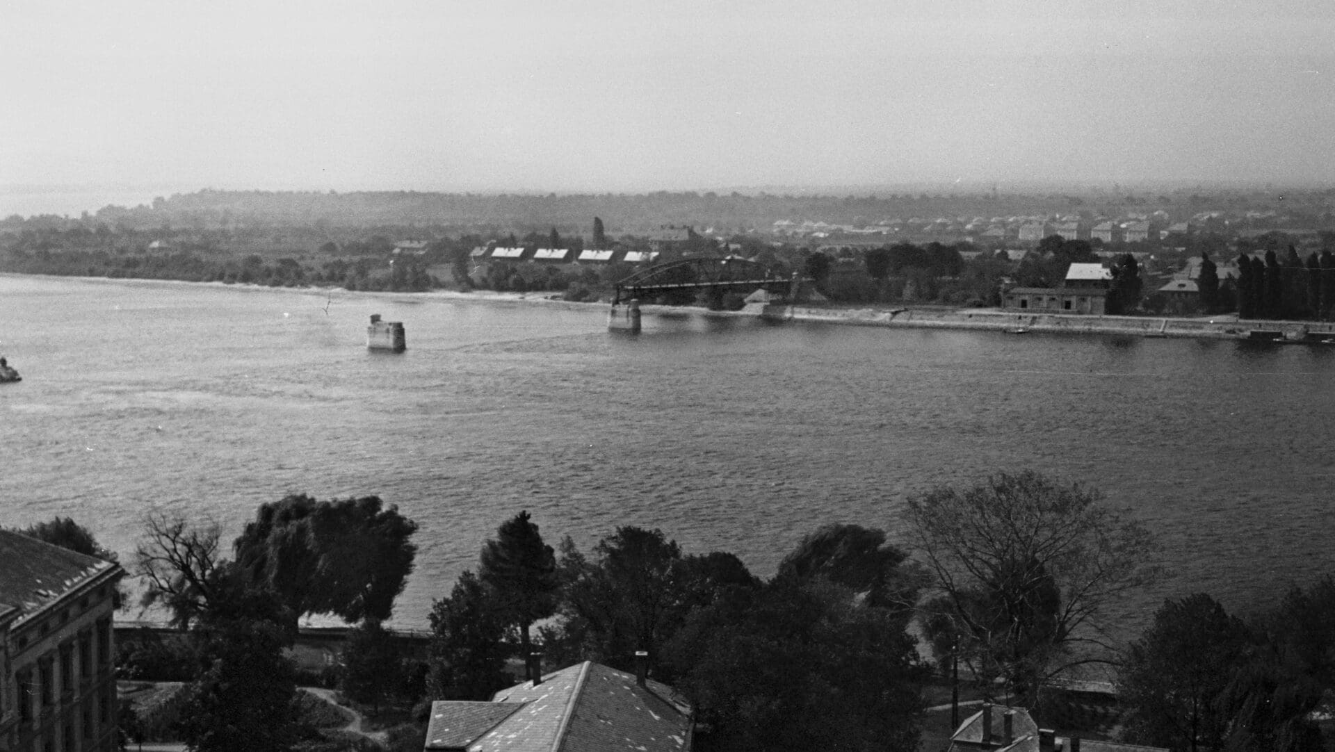
My homeland is located in today’s Slovakia, better known as the Uplands, at the eastern end of the Great Hungarian Plain along the Danube. The Garam has its source near the Kráľova hoľa (Király-hegy in Hungarian, meaning ‘King’s Bald Mountain’) in the Low Tatras, from where it flows for 298 kilometres to the border of the village of Garamkövesd (Kamenica nad Hronom) opposite Esztergom, Hungary, where it finally flows into the Danube. The inner part of the valley is flat agricultural land with hills on both sides, interspersed with arable lands, vineyards, and forests.
The lower reach of the Garam starts at the so-called Tót Gate (Hungarian Tót-kapu) and ends at the Danube. This designation was accurate until the end of the Turkish era, because after that the Slovak-speaking population lived not only in the middle and upper reaches of the Garam, but were also resettled in the destroyed Hungarian villages on the plains.
An Emperor and a King along the River
Our region was inhabited thousands of years ago by Celtic tribes, and, as attested by archaeological findings, they actively traded with the Pannonian population of the Roman Empire. The first famous person and writer living along the Garam was Roman Emperor Marcus Aurelius, who created his work titled Meditations around 166 AD during his campaign along the river. In this personal writing, the name of the river, Granus, which comes from the Celtic word for ‘green’, is mentioned for the first time. The green coloration of the river’s mud can still be observed today. After the Celts, Avars, Huns, and then Slavs lived here—the valley was also part of the Great Moravian Empire, one of whose capitals was the town of Nyitra (Nitra).
During the disintegration of the Empire, Hungarian tribes settled along the riverbank. The memory of this is preserved in the present-day village of Óbars (Starý Tekov), named after Bors, a member of the Miskolc clan and the Lord Lieutenant of Borsod County. Óbars later also became the seat of the former Bars County in the Kingdom of Hungary. Several settlements in the valley bear the names of former tribes, such as, for example, Hontfüzesgyarmat (Hontianska Vrbica), Kőhídgyarmat (Kamenný Most), or Kiskér (Malý Kýr). Tradition also holds that King St Stephen was born in the nearby town of Esztergom and was then knighted at the frozen estuary of the Garam. One of his Bavarian warriors was called Hunt, hence the name of Hont County, while the memory of Hunt’s son, Bény (Bíňa), is preserved in the name of a village in the middle of the valley. Bény was of strategic importance already in the Migration Period—its protection was ensured by a massive double rampart, which was later reinforced by a third ring road built by the invading Turkish armies. It was also here where St Stephen gathered the armies against his relative Koppány in their fight for the throne. Peace reigned in the countryside until the 13th century, but later the Mongol invasion wiped out the complete Hungarian population—the couriers sent from the Esztergom Castle only found a few survivors in the vicinity of the palisade of Óbars.
The Effects of the Turkish Rule
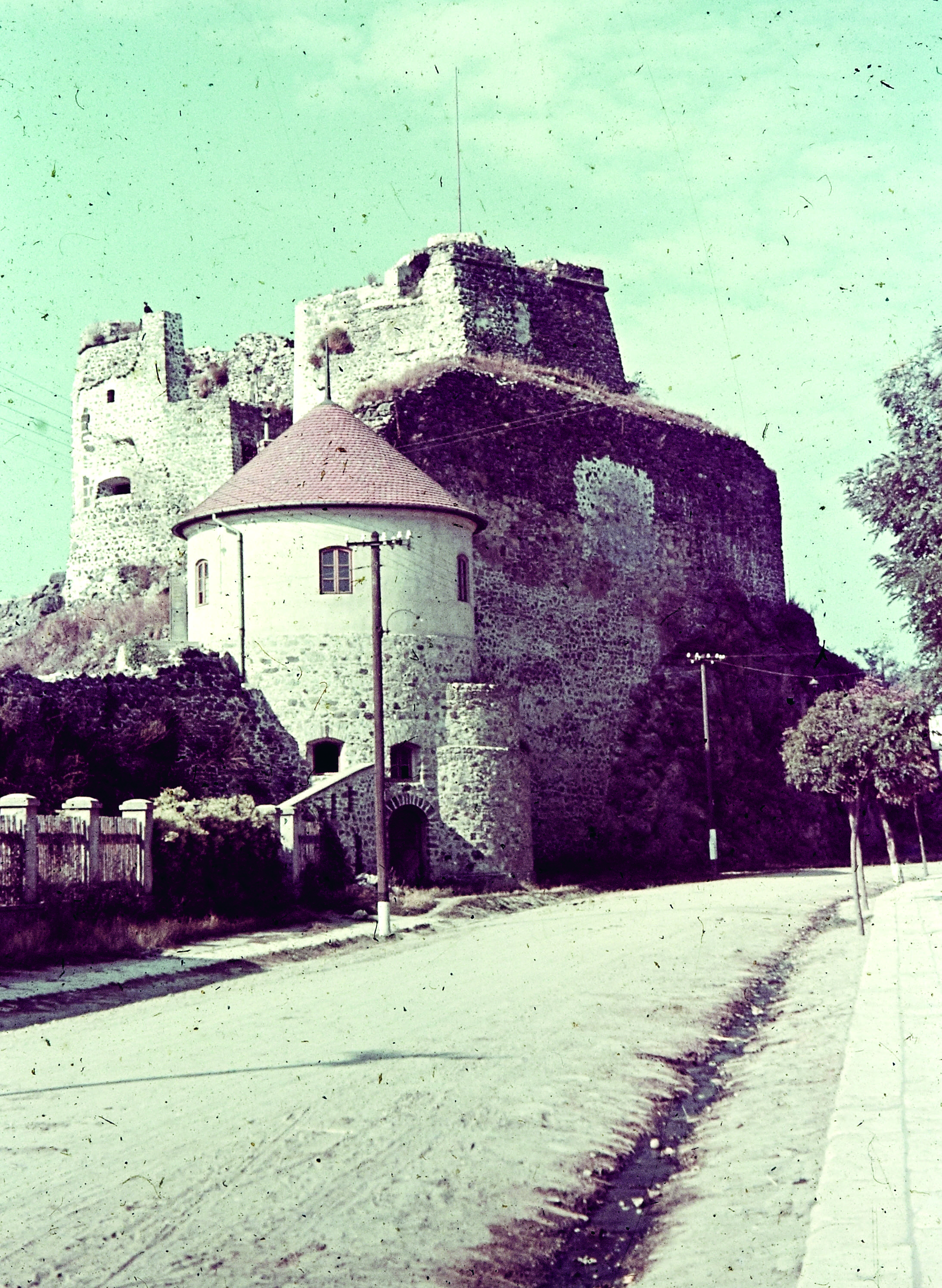
After the Mongol invasion, King Béla IV appointed the previously insignificant village of Léva (Levice) as the site of a new, massive stone castle, which was so securely built that it resisted almost all of the Turkish attacks of the 16th and 17th centuries. Captains such as Baron István Dobó, one of the defenders of the castle of Eger, stayed here for a while as well. In addition, the walls of the stone castle protected the trade routes leading from Buda and Vác to the mining towns of Körmöcbánya (Kremnica), Selmecbánya (Banská Štiavnica), and Besztercebánya (Banská Bystrica). It was also here where Sebe Zách, the daughter of Hungarian landowner Felicián Zách, was executed after the assassination attempt of her father on King Charles Robert. According to legend, Sebe’s ghost still haunts the castle until this day.
In the southern part of the valley, next to the estuary of the Garam, there is a town called Párkány (Štúrovo), whose original name was Kakath—that is why it has a rooster in its coat of arms (in Hungarian, ‘rooster’ means kakas, hence the name of the town). The name ‘Párkány’ is of Turkish origin because, after its capture, the local palisade was called Ciğerdelen Parkani, i.e. ‘gut-punching fortress’, by the Turks. Over time, the fishing village on the Danube became more and more important and was even given the status of a market town. Currently, one of the largest thermal baths in Slovakia, Vadas, operates here as well.
After the battles of Léva in 1664 and Párkány in 1683, the Garam Valley was freed from Turkish domination; however, by then it was depopulated. Only a quarter of a century later, the resettlement of approximately one hundred villages began, but several old villages were already destroyed by that time. Many of the new residents were Slovaks from the northern regions that had not suffered from the wars—it was then that the first expansion of the Slovak population started in the Garam Valley. There were villages where the newcomers merged into the Hungarian-speaking majority, while in other villages the opposite happened.
Traces of Heroes, Composers, and Confectioners
The Hungarian Revolution of 1848 brought great changes to our region: for some time, the local Hungarians lived their heyday from then on. Not many people know, but during the battles in Upper Hungary in December 1848, the National Guards of Nagysalló (Tekovské Lužany) wrote the famous Hungarian military song titled ‘Kossuth Song’. During the spring campaign, on 19 April 1849, a bloody battle took place at Nagysalló between the rebel Hungarian armies and the imperial troops. Five of the Thirteen Martyrs of Arad fought in this battle as well, just as British-born Hungarian soldier General Richard Guyon, who lived in the neighbouring Csata (Čata) at the time of the event. The clash ended with a bright Hungarian victory—in 1876, a more than nine-metre-high granite obelisk was built in Nagysalló to commemorate the triumph, which is still one of the most important shrines for Hungarians in the region.
The neighbouring town of Zselíz (Želiezovce) is famous for the local branch of the Esterházy family and its occasional guests. Among others, famous Austrian composer Franz Schubert stayed and composed here for two summers, while Franz Sacher, the creator of the famous Sacher cake, also lived in the town. All this may not be surprising, since the valley of the lower reach of the Garam was once abundant in castles: there were some villages with five to ten castles and mansions, most of whom, however, unfortunately, can no longer be seen today.
Blow after Blow
Between 1885 and 1887, the railway line connecting Párkány with Léva and Ipolyság (Šahy) was completed. However, World War I and then the Treaty of Trianon were a devastating blow for the whole region: several rural development plans have been interrupted or failed in the area. Although in the summer of 1919, the Hungarian Red Army launched a successful counterattack against the Czech occupation with the Pálmay group from Léva, despite their victories they had to retreat to the territory of today’s Hungary.
After Trianon, Czech, Moravian, and Slovak settlers were brought to our region, who were intended to integrate into the local population, but this idea of state authority was doomed to failure from the beginning. In November 1938, according to the First Vienna Award, almost the entire valley was reunited with Hungary, which caused a real euphoria at the time. Nevertheless, within a few years, World War II crushed the initial enthusiasm for good.
WWII brought one of the greatest tragedies to my homeland. The Garam turned into a bloody river: for three months, from Christmas 1944 to Easter 1945, it was the front line of the clashes. Tens of thousands of soldiers and hundreds of civilians lost their lives here. Then, as a farewell, the retreating German army blew up almost all our beautiful churches along the front line from Zselíz to Párkány, and the bridges were also destroyed, including Maria Valeria Bridge connecting Esztergom with Párkány.
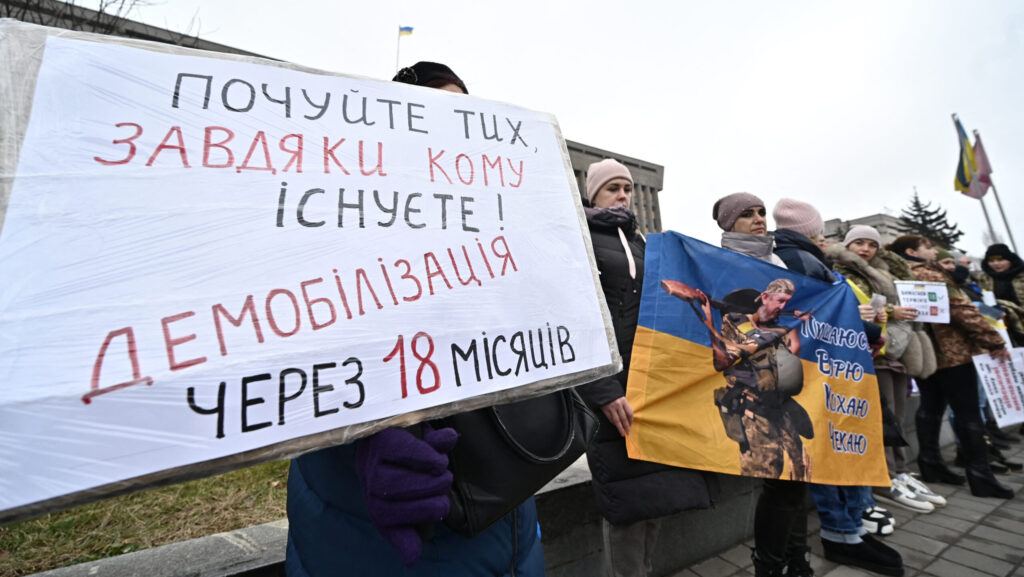
After the fighting died off, the poorer Hungarian population was taken to forced labour camps, which was then followed by a tragic population exchange: almost half of the Hungarians from the lower reach of the Garam were resettled in Hungary, from where the Slovaks were brought here in exchange. Until 1951, Hungarian-language education ceased, and the remaining Hungarians were also deprived of their citizenship, some of whom even ‘re-Slovakised’ on paper, that is, they declared themselves Slovaks in order to save their real estate and personal belongings from confiscation.
A Living Hope
During the communist years, the local majority became a minority, but despite all this Hungarians persisted throughout—within the framework of Csemadok, a cultural society of ethnic Hungarians in Slovakia founded in 1949, there was a lively Hungarian cultural life in almost every village of the region. After 1989, however, the number of Hungarians began to decrease rapidly, and the language border shifted further and further to the south. Although democracy has already restored the rights of ethnic Hungarians, the events of 1947–48 only showed their true impact afterward.
Currently, the communities of Hungarian-inhabited settlements can count on more support from the mother country than from Bratislava. Due to the decline of the Hungarian population, many small and medium-sized elementary schools have ceased to exist or are fighting for their survival. There are hardly any Hungarians left among the Catholic priests, and the number of Reformed Church members has decreased dramatically, too. No matter how hard the last 104 years have hit us, ethnic Hungarians here are trying to hold on to their values. It is certain that there are richer and better-situated regions in the world, but for us and our ancestors, this is our homeland, and we long for it to remain our resting place for the rest of our lives.
Related articles:
Click here to read the original article.