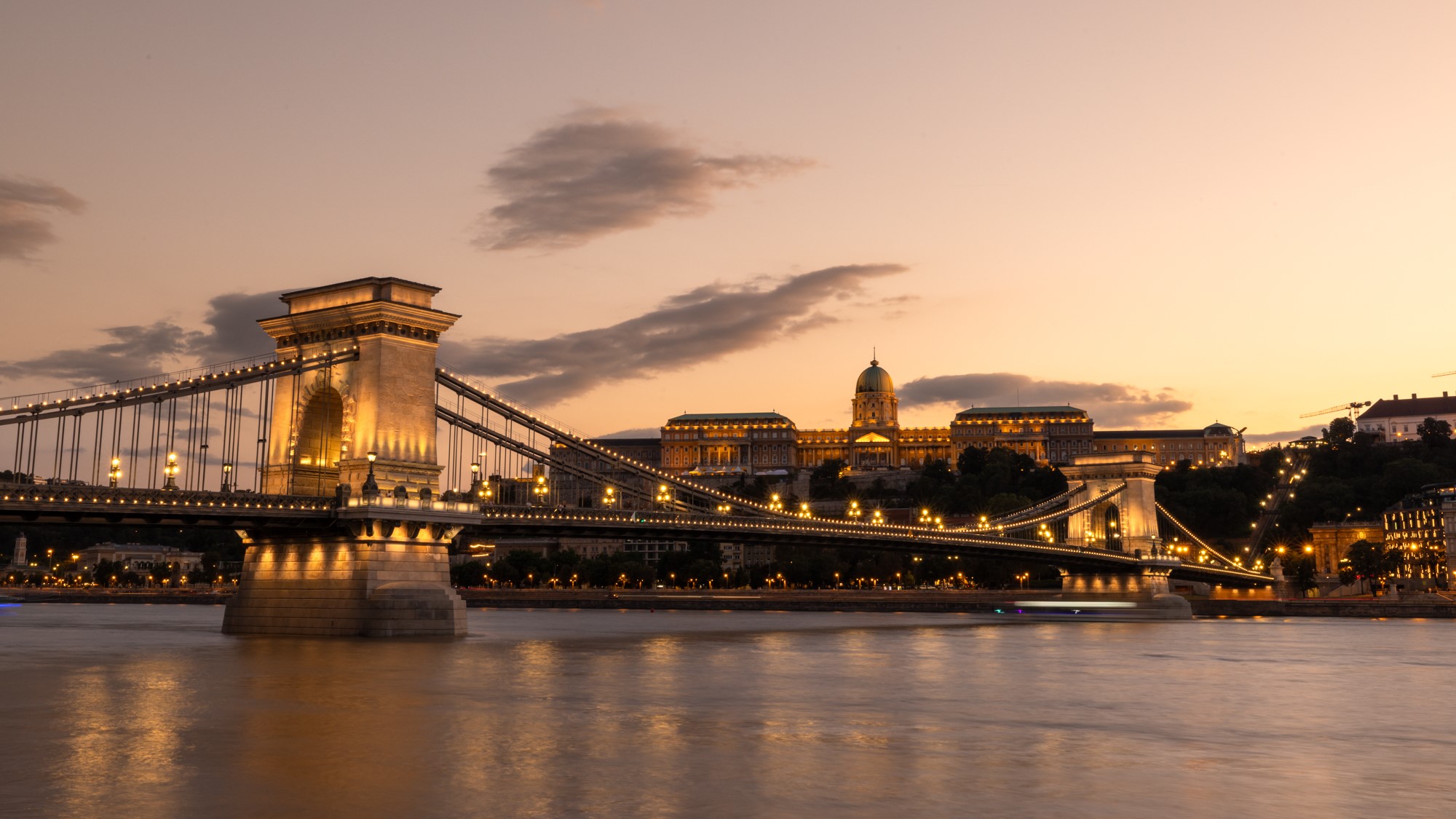
The Metropolitan Ervin Szabó Library (FSZEK) is celebrating the 75th anniversary of Budapest’s second unification with an extensive online exhibition, offering a detailed look at the districts incorporated into the capital in 1950. The event, which nearly doubled the city’s area and population, is often referred to as Budapest’s ‘second birthday’.
Hosted on a dedicated thematic website, the exhibition features original documents related to the unification, including the text of the relevant law, urban planning proposals, maps, and earlier expansion concepts. Visitors can explore the history, social life, and distinctive character of the newly added districts, gaining insight into how they developed, who lived there, and what everyday life was like.
The digital archive contains 330 items, ranging from photographs, postcards, posters, advertisements, and stamps to contemporary newspaper articles. A special section showcases 20 historic maps illustrating various stages and visions of Budapest’s territorial growth. Among the highlights is the 1948 General Urban Development Plan for Greater Budapest, the only surviving complete copy of which is preserved in the library’s Budapest Collection. The plan, created under the leadership of architect Gábor Preisich, is now fully accessible online.
Four districts, Újpest, once an independent industrial town; Budafok, known for its agricultural and winemaking traditions; Pesthidegkút, with its rural village charm; and Mátyásföld, a purpose-built holiday settlement, receive special attention for the way they reflect diverse paths of urban integration.
Related articles:

