A comprehensive digital database documenting Hungary’s military occupation during 1944–45 is now complete and accessible online. The resource, titled Hungary’s Military Occupation 1944–1945, is the product of a joint effort by the National Archives of Hungary and the Military History Archives of the Ministry of Defence.
According to the National Archives, the project brings together and systematizes archival records related to military operations on Hungarian territory during the final years of the Second World War. For researchers and the general public, the platform offers an unprecedented overview of the decisive and tragic events of the period.
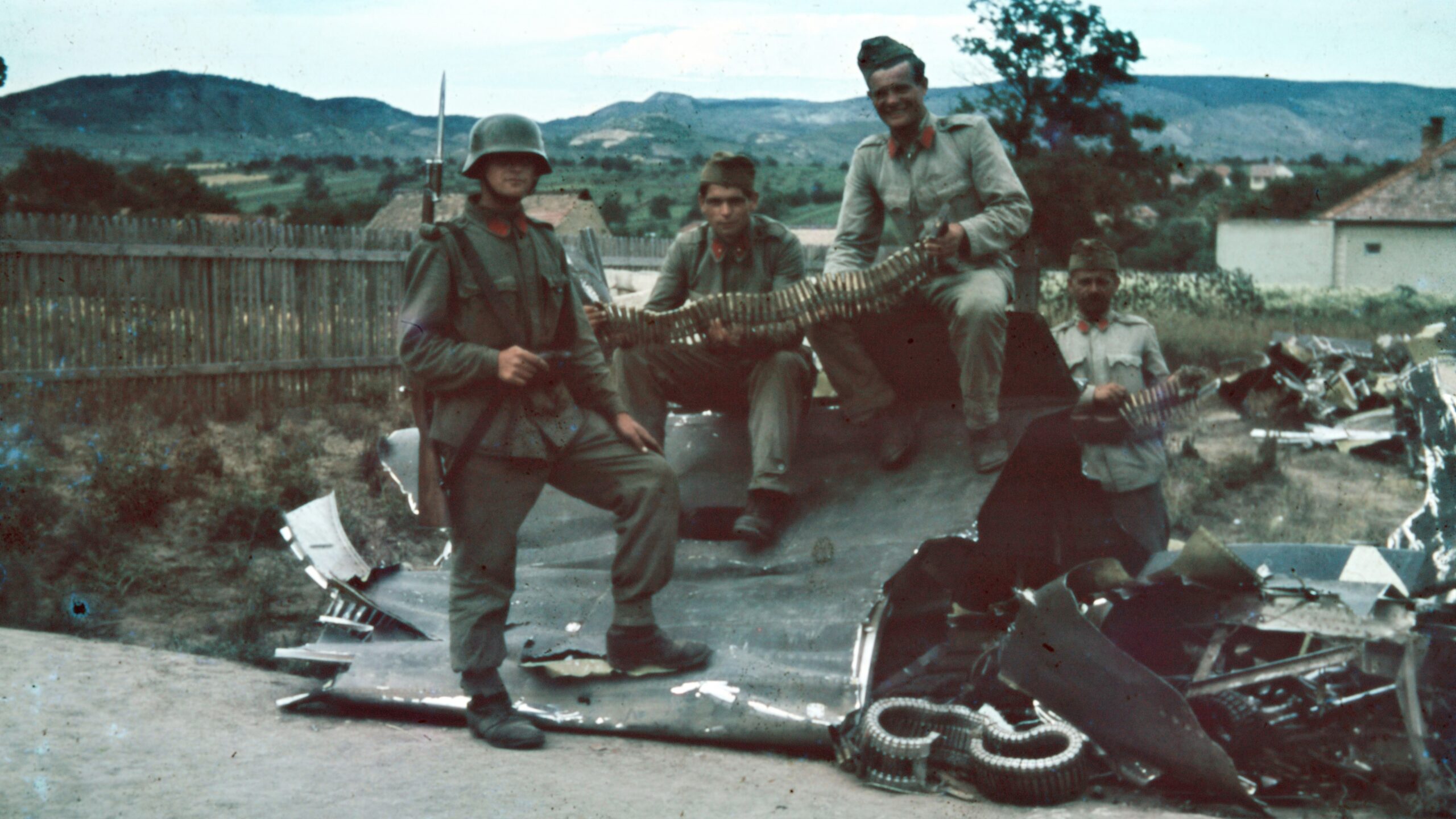
The institutions noted that although the 1944–45 military occupation was one of the most consequential chapters in Hungary’s modern history, wartime data for all 3,155 municipalities had never before been collected using unified criteria. Key information was often missing at the local level, including dates of occupation, the military units involved, the nature and duration of fighting, casualty figures, and the extent of material damage.
The database enables 117,000 families to learn more about their ancestors’ wartime experiences, while residents of every municipality can explore the losses and hardships endured in their own communities. Users can access details about battles, occupation timelines, casualties—including civilians—and the destruction inflicted on local property.
The platform relies on modern data-visualization tools and interactive design while maintaining historical accuracy. It features an interactive map that displays battlefield coordinates, operational dates, opposing forces, and casualty information in a single view. Events can also be explored chronologically through a timeline. Developers used a 1941 map of Hungary as a foundation, enhanced with 3D topographical representation.
With its built-in search functions, the site allows visitors to quickly look up a specific municipality’s wartime history or survey the full landscape of military operations across the country. Users can also trace the movement of the front as it unfolded.
Related articles: